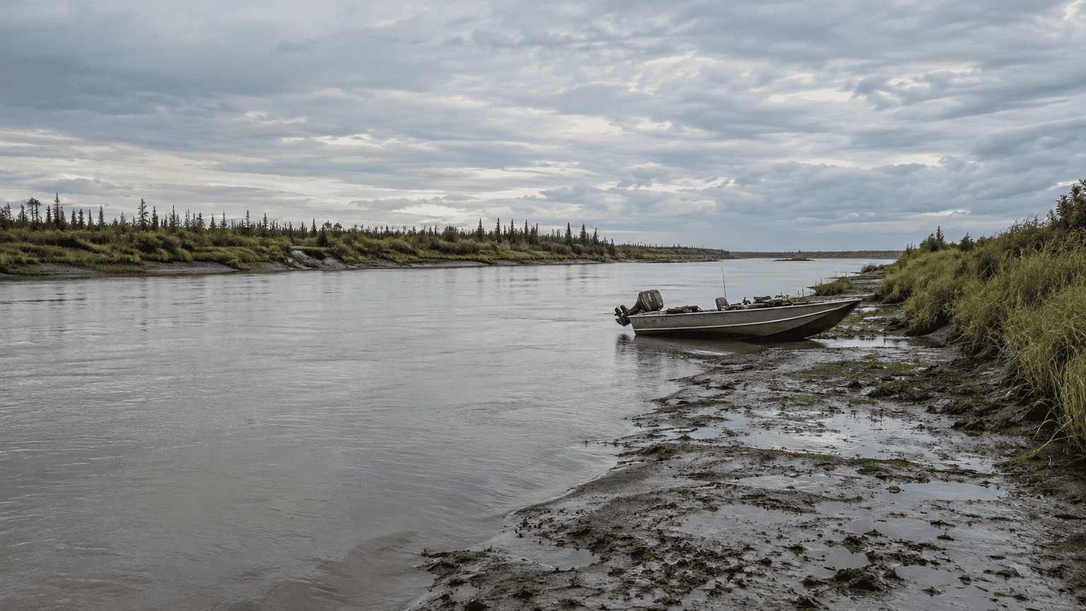
Bristol Bay’s tidal range varies by location. NOAA lists a mean range of 12.08 feet at its Egegik River station, based on the 1983 to 2001 tidal datum epoch. This figure describes one station and reference period, not the entire bay. NOAA’s Egegik River station data show why the details behind a tide number matter.
At Naknek, NOAA reports a mean range of 17.24 feet based on water level records from July to October 2019. For fishing near the Nushagak River, a baywide figure cannot predict conditions at a particular spot or time. NOAA’s Naknek station page provides context for that measurement.
Key Takeaways
-
Bristol Bay has no single tidal range, so match any tide figure to its station, measurement type, and reference periodReported ranges depend on the station, measurement type, and record period.
-
Bristol Bay tides are mixed, with two highs and two lows each tidal day, and successive highs and lows can differ. Check station specific predictions for your date and fishing area.
-
The Nushagak Bay and River can see tides reaching 5 meters and strong ebb currents. Ask your Fish The Nush guide about local conditions as you plan your trip.
What Is the Tidal Range in Bristol Bay?
Bristol Bay has no single tidal range. The figure depends on the location and the measurement being reported. NOAA defines mean range of tide as the difference between mean high water and mean low water.
At Egegik River station 9464874, NOAA lists a mean range of 12.08 feet based on the 1983 to 2001 epoch. This figure describes the Egegik station, not the entire bay. NOAA’s Egegik station datums provide the station specific value.
Naknek station 9465203 reports a mean range of 17.24 feet and a diurnal range of 20.04 feet. Its water level record covers July to October 2019, while Egegik’s datum record is based on an epoch. These different stations, measurements, and record periods do not establish one range for the entire bay.
Why Does the Range Change by Location?
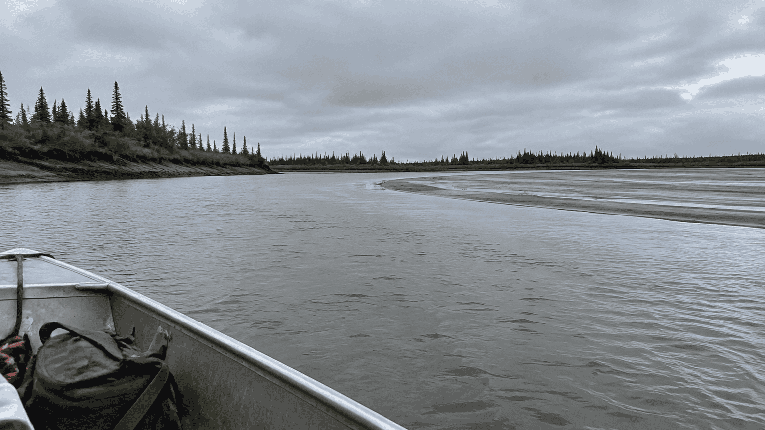
Historical tide estimates rise from Port Moller toward Bristol Bay’s inner reaches and the Naknek River entrance, but the increase is not uniform. Bristol Bay has mixed, predominantly semidiurnal tides, with two highs and two lows during a tidal day. Successive highs and lows can differ significantly.
NOAA tidal datums are reference elevations tied to specific phases of the tide, such as mean high water or mean lower low water. A station’s datum should not be applied to an area with different oceanographic characteristics unless supporting measurements justify it.
The measurement period matters. A long term datum represents water levels across a defined reference period, while a shorter station record reflects only the conditions observed during that record. The station, datum, and period show what a reported range describes and whether it can be fairly compared with another figure.
How Do You Read a Bristol Bay Tide Chart?
Read a Bristol Bay tide chart by matching the station to your planned area, identifying whether each value is a predicted high or low or a summary range, and checking the datum and reference period. A daily prediction gives the expected time and height of a high or low, while a mean range summarizes the difference between mean high water and mean low water. As NOAA’s tidal datum guidance explains, a mean range is not a prediction for a particular day. NOAA publishes station specific predictions and datum information. The current National Tidal Datum Epoch is 1983 to 2001. NOAA proposes releasing revised products based on 2002 to 2020 water level data in 2029. Use this quick check when reading a chart:
-
Choose the NOAA station that best matches the part of Bristol Bay you plan to visit.
-
Read the date, time, height, and label to distinguish a predicted high or low from a mean range statistic.
-
Check the listed datum and reference period before comparing values from different stations or sources.
What Do Tides Mean for Nushagak Bay?
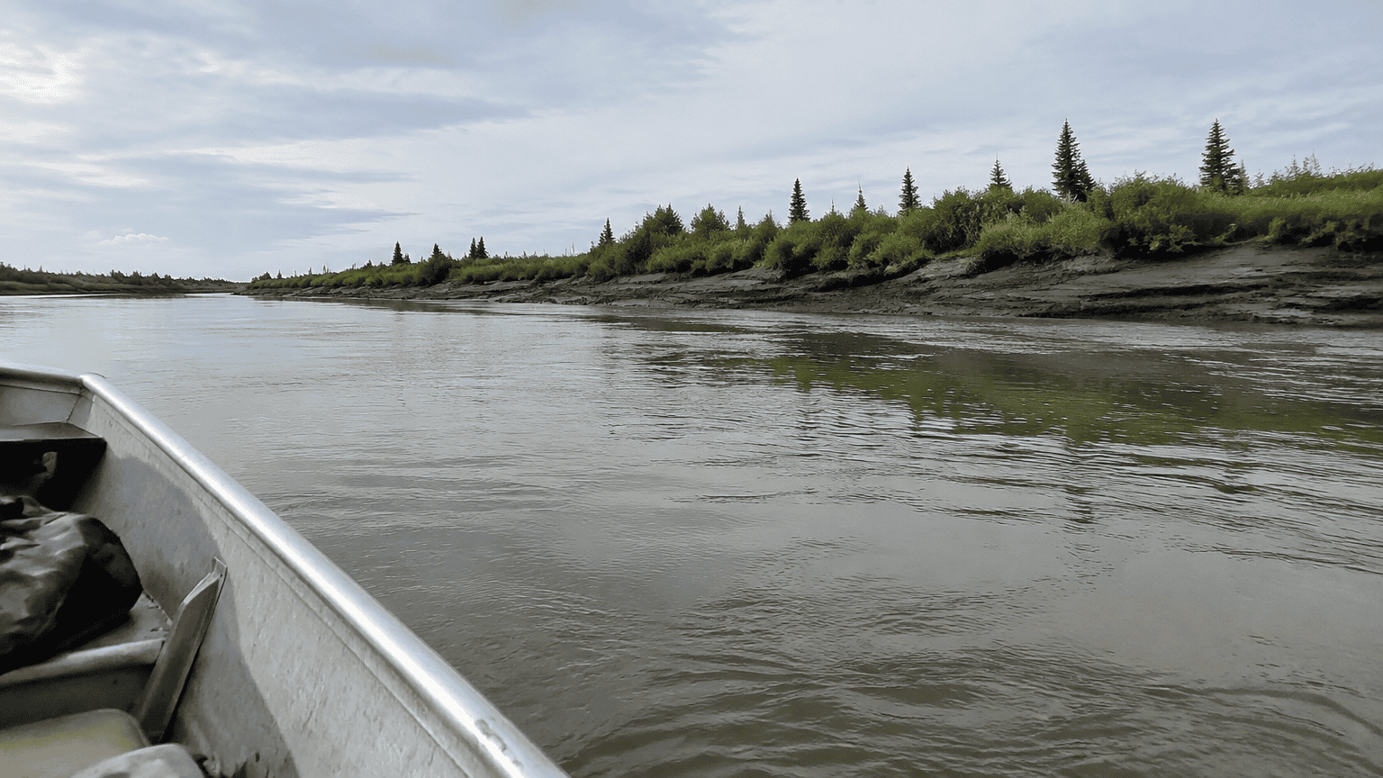
Tides in Nushagak Bay and the Nushagak River can reach 5 meters, and ebb currents can be strong. NOAA’s 2023 hydrographic survey reported both conditions. The survey ran from June 15 to September 22, 2023. Strong ebb currents combined with river flow made safe survey work difficult.
For your lower Nushagak fishing trip, treat tide and current as local conditions. One Bristol Bay range figure cannot predict what you will find at your fishing spot. Your location, timing, and river flow all matter, so discuss conditions with your expert guide at Fish The Nush as you plan your time on the water. A regional tide number cannot describe conditions at every spot or hour.
Which Tide Information Should You Check?
Before you travel, check the station, prediction type, and datum that match your planned area and timing.
-
Confirm the station name and location before using its tide prediction.
-
Separate daily high and low predictions from mean range and diurnal range statistics. Daily predictions give times and heights, while range statistics summarize tidal differences.
-
Check the datum and reference period behind each number. NOAA defines mean range as the difference between mean high water and mean low water in its tidal datum guidance.
Fish The Nush is a fishing lodge on the Nushagak River in Bristol Bay, Alaska, with expert guides and comfortable cabins. Request trip details through fishthenush.com or call 1 877 876 NUSH.
Plan Your Nushagak River Fishing Trip
Before you book, send Fish The Nush your travel dates, group size, and target salmon species: king, sockeye, or coho. Ask how tide predictions for your travel window fit with lower Nushagak access and your daily fishing plans. Your expert guide can discuss local conditions and help plan your time on the water.
Fish The Nush is a fishing lodge on the Nushagak River in Bristol Bay, Alaska. Your fishing package includes expert guiding, comfortable cabin accommodations, quality boats and gear, and great meals. Your group can focus on salmon fishing and enjoy a welcoming stay.
Request trip details for your group at Fish the Nush or call 1 877 876 NUSH.
Frequently Asked Questions
1. Where can you find NOAA water level observations for King Salmon Air Base?
NOAA lists verified water level observations for King Salmon Air Base under station 9465149 in its station inventory. The listed observations run from May 25 to November 1, 2024. NOAA published the station’s benchmark sheet on May 23, 2025.
2. Why does the Bristol Channel have the highest tidal range?
The Bristol Channel is a different location from Bristol Bay, Alaska. Bristol Bay station figures cannot establish the Bristol Channel’s tidal range or explain why it may have a high range. You need location specific information about the Channel to answer that question.